
Quick Answer
During the final week of May 2026, Portugal officially broke its all time national maximum temperature record for the month of May, with a weather station in the interior Alentejo region registering 42.8 degrees Celsius, equivalent to about 109 degrees Fahrenheit. The Portuguese Institute for Sea and Atmosphere (IPMA) confirmed the new benchmark.
The cause was a textbook heat dome. A powerful subtropical air mass originating over the Sahara Desert crossed the Mediterranean, parked itself over the Iberian Peninsula under a stubborn high pressure ridge, and trapped extreme heat in place for several consecutive days.
How Unusual the Readings Were
Historically, May in Portugal is a pleasant shoulder season. Average maximum temperatures across most of the country sit between 22 and 26 degrees Celsius, and even the hottest interior districts rarely push past the mid 30s before mid June. The late May 2026 event completely rewrote those baselines.
- Beja, interior Alentejo. 42.8 degrees Celsius, the new national May record.
- Santarem and Evora. Consecutive daytime peaks reaching 41.5 degrees Celsius.
- Lisbon. Stifling urban conditions that pushed air conditioning loads to extreme levels and strained localised distribution grids.
- Interior villages. Midnight temperatures plateauing at 27 degrees Celsius during the peak nights of the event.
What a Heat Dome Actually Is
A heat dome is a meteorological setup, not a single weather event. It forms when a strong, persistent area of high atmospheric pressure parks over a region and behaves like a lid. The descending air inside the high pressure ridge compresses and warms, while the upward circulation that would normally generate cloud cover and rain is suppressed.
Once the dome is in place, three reinforcing feedbacks lock the heat in:
- Clear skies. With cloud cover suppressed, solar radiation reaches the ground unfiltered and ground temperatures climb sharply.
- Dry soil. The drier the soil, the more incoming solar energy goes into heating the air rather than evaporating moisture. Portugal's already parched soil from a dry winter amplified the effect.
- Trapped warm air. The high pressure ridge prevents cooler air masses from advecting in to displace the trapped heat, so each successive day builds on the last.
Why Tropical Nights Are the Bigger Public Health Story
The daytime peaks make the headlines, but climatologists and public health officials are more concerned about the overnight readings. A "tropical night" is defined as one where the ambient temperature does not drop below 20 degrees Celsius.
During the peak of the heat dome event, large parts of interior Portugal experienced consecutive tropical nights with midnight temperatures sitting at 27 degrees Celsius. The human body relies on overnight cooling to shed accumulated heat stress. When that cooling window disappears, the cumulative effect of consecutive hot days lands much harder, particularly on the elderly, the chronically ill, and isolated rural populations without air conditioning.
Agricultural and Ecological Damage
The timing of the heatwave is genuinely brutal for Portugal's agricultural economy. Several of the country's most valuable crops were in critical phenological windows when the heat dome arrived.
- Wine grapes. The Douro and Alentejo wine regions were in the delicate flowering and early fruit set phase. Extreme heat at this stage can scorch young clusters and substantially reduce the 2026 vintage yield.
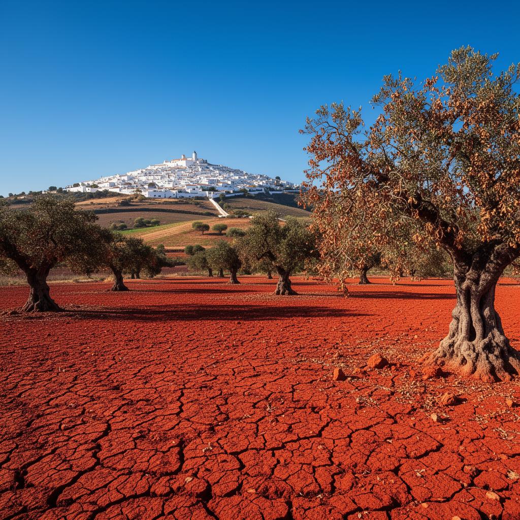
- Olive groves. Non irrigated olive groves are showing immediate hydric stress, with leaf drop as the trees defend their remaining moisture.
- Cereal crops. Late spring cereals that had not yet been harvested are at risk of premature grain shrivelling, which depresses both yield and quality.
Why the Wildfire Risk Just Went Vertical
The combination of 40 plus degree heat, single digit relative humidity, and bone dry scrub vegetation is the worst possible setup for the start of fire season. The National Authority for Emergency and Civil Protection (ANEPC) has placed central and southern forested regions under a Red Alert for catastrophic wildfire ignition.
That status triggers a layered set of precautions: bans on agricultural burning, restrictions on machinery use in forested areas, pre positioning of aerial firefighting assets, and heightened public communication. The concern is not just any single fire but the risk of multiple simultaneous ignitions overwhelming the response system, which is what produced the most damaging seasons of the past decade.
The Climate Change Context
It is important to separate weather and climate carefully here. The specific heat dome that hit Portugal at the end of May 2026 is a weather event, driven by a particular atmospheric pattern. The fact that May records are now being broken by margins of several degrees, rather than fractions, is a climate signal.
The Iberian Peninsula is warming faster than the global average, partly because of its position at the boundary between subtropical and mid latitude circulations. Spring heat events that would have been considered unprecedented two decades ago are now occurring with measurable regularity, and the baseline that records are measured against keeps shifting upward.
Layer in the developing 2026 Super El Nino in the equatorial Pacific, which is loading the global atmosphere with additional heat and moisture, and the conditions favour more frequent and more intense extremes through the rest of 2026 and into 2027.
What to Watch Next
- Fire season pacing. If significant ignitions occur in May or early June, rather than the traditional late July onward window, the season will be exceptionally long.
- Reservoir levels. Portuguese reservoirs were already below historical averages going into the heat dome. Continued evaporation losses through summer would create real water supply pressure.
- Public health reporting. Excess mortality data from the event will not be available for several weeks, but it is the most honest measure of how badly the heat hit.
- Vintage forecasts. Wine producers will issue preliminary 2026 vintage assessments by midsummer. Watch for revisions downward in Douro and Alentejo.
The Takeaway
Portugal's new May temperature record is not just a number on a chart. It is the visible edge of a structural shift in how spring behaves on the Iberian Peninsula. A Saharan air mass, a stubborn high pressure dome, dry soils from a poor winter, and a warming global baseline lined up to produce conditions that would have been considered freakish a generation ago. With a Super El Nino still building in the Pacific and a Red Alert wildfire season already underway, this late May event reads less like an isolated extreme and more like an early preview of the kind of summer Portugal needs to be ready for.