Quick Answer
To plan a first overland trip, I cap daily trail mileage at 50 to 70 miles, download offline maps in Gaia GPS or OnX Offroad, verify camping is legal on BLM or National Forest land, calculate water and fuel run-rates with a safety cushion, and leave a written flight plan with a contact at home who will call for help if I miss my check-in.
A successful trip is won or lost in planning.
Step 1: define realistic route geometry
The biggest mistake beginners make is overestimating daily distance. On pavement, 400 miles is a comfortable day. On unpaved trails, my average speed drops to 10 to 15 mph.
- Highway: 65 mph average, 400 miles in about 6 hours.
- Trail: 12 mph average, 400 miles is 33 hours of driving.
For a first outing, I cap trail driving at 50 to 70 miles per day. That leaves time for scouting obstacles, taking photos, filtering water, and arriving at camp by 3 or 4 PM with plenty of daylight to set up and cook.
Step 2: master offline mapping
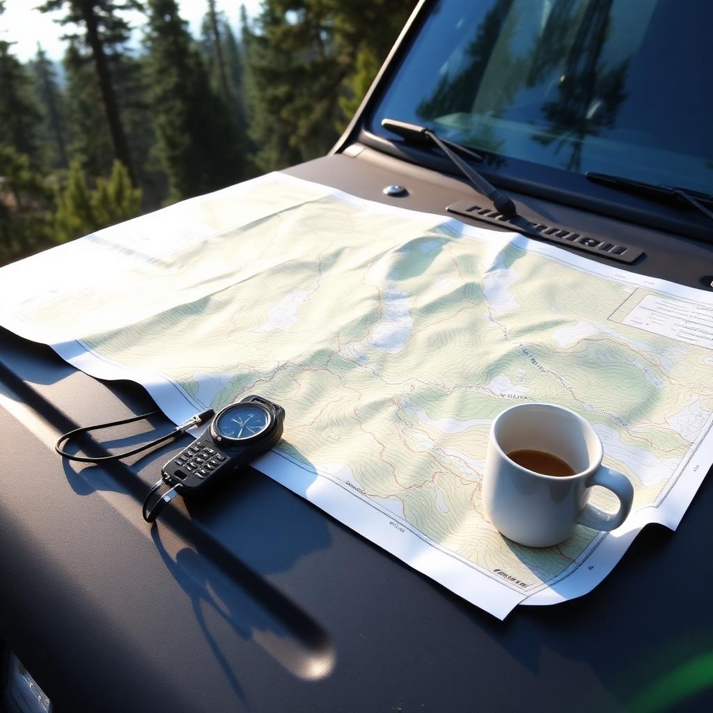
Google Maps and Apple Maps are useless in the backcountry. I use dedicated off-road apps like Gaia GPS, OnX Offroad, or Garmin Explore. Before I leave home I download the full route zone for offline use. Once cell service dies, my phone's GPS chip still works against those downloaded tiles.
I stack useful layers on the app:
- Public land boundaries to avoid trespassing.
- USFS Motor Vehicle Use Map (MVUM) to confirm the trail is legally open to my vehicle class.
- High-resolution satellite imagery to spot washouts, trees, and obstacles before driving into them.
Step 3: verify camping legality
You cannot just pull over anywhere. Two agencies do the heavy lifting for US overlanders:
- Bureau of Land Management (BLM) land generally allows free dispersed camping up to 14 days per location on previously established clearings.
- US Forest Service (USFS) land allows dispersed camping unless posted otherwise. Always check the specific forest's MVUM and rules.
Never camp on private ranch land or tribal reservations without explicit permission. The fines and confrontations are not worth the view.
Step 4: calculate resource run-rates
Before I lock the itinerary I run a resource spreadsheet for a self-sufficient trip.
| Resource | Safe daily rate | 3-day trip baseline (2 adults) | Safety cushion |
|---|---|---|---|
| Fresh water | 1 gallon per person per day | 6 gallons | Add 2 extra gallons for hygiene and radiator top-off |
| Vehicle fuel | Terrain-dependent | 1 full factory tank | Carry one 5-gallon jerry can (adds 50 to 80 miles of range) |
| Power storage | ~30 amp-hours for fridge and devices | 90 amp-hours over 3 days | 100Ah lithium station or a 100W solar panel |
| Food | Roughly 2,500 to 3,500 calories per person | Freezer + dry pantry for full trip | 1 extra day of shelf-stable meals |
Step 5: leave a written flight plan
Once the route is locked in, I export the GPX file and email it to a trusted friend or family member at home. I set a strict check-in window: "If you have not heard from me by Sunday at 8 PM local time, contact the county Sheriff or the local Forest Service office and give them the attached GPX track."
The point is not to be dramatic. The point is that if I roll a vehicle off a shelf and cannot reach my Garmin inReach or Zoleo, somebody knows to start looking in a specific area within 24 hours instead of 96.
Frequently asked questions about planning a first overland trip
How long should my first overland trip be?
One night. Seriously. A single night out within two hours of home teaches you more about your gear, your vehicle, and your tolerance for discomfort than any three-day expedition. Once you have run the loop of pack, drive, camp, sleep, cook, pack, drive home without a disaster, you can start scaling up.
Do I need permits to camp on public land?
For dispersed camping on most BLM and Forest Service land the answer is no, but some high-traffic areas require a free permit or reservation. National parks always require permits for backcountry camping. Always check the specific management agency's website before you commit to a route.
What if I break down in the backcountry?
This is why the flight plan matters. A satellite communicator lets you request non-emergency help through services like Garmin Response for a mechanical breakdown, or trigger SOS for a true emergency. Without a communicator and without a check-in contact, a broken axle in a canyon becomes a survival scenario instead of a long, boring wait.
Bottom line
Planning a first overland trip is a resource-accounting exercise. Cap daily trail miles, download offline maps, target legal public land, calculate water and fuel with a cushion, and leave a written check-in plan with a contact at home. Do that and your first trip will be defined by great views, not by logistical panic.