
Quick Answer
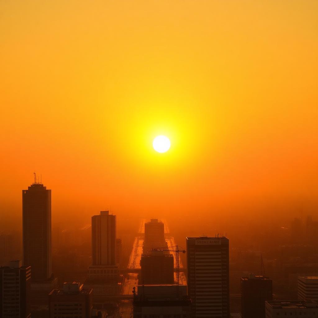
A heat dome is a large, stagnant ridge of high pressure that parks itself in the upper atmosphere over a region and traps hot air underneath it. The high pressure forces air downward. As that air sinks it compresses, which heats it further, which drives surface temperatures up to dangerous levels for days or sometimes weeks at a time.
The dome also suppresses cloud formation, so sunlight beats down unfiltered all day and there is no evening relief because nighttime temperatures stay elevated.
Heat domes are becoming more frequent and more intense as ocean temperature gradients shift, and they are now the single deadliest weather phenomenon in the United States most years.
The physics in plain language
Air at altitude is usually cooler than air at the surface. A heat dome flips that pattern. A large, slow moving high pressure system establishes itself in the upper troposphere and acts like a tight lid on a pot. Air that would normally rise from the surface (carrying heat away) gets pushed back down by the weight of the high pressure cell above it.
The downward motion is the part most people miss. Sinking air gets compressed as it moves to higher pressure environments closer to the ground. Compression heats air, the same way a bicycle pump heats up at the nozzle when you inflate a tire. That extra heat adds to whatever the sun is already adding through normal daytime radiation. Within 48 hours, surface temperatures can climb 15 to 25 degrees Fahrenheit above seasonal averages.
Why heat domes do not break overnight
Most extreme weather events are short. A thunderstorm passes in an hour. A tornado lasts minutes. A hurricane moves on within a few days. A heat dome can sit in place for one to three weeks because the very high pressure system that creates it also blocks the normal westerly winds that would push it along.
This is sometimes called an omega block, after the shape the jet stream takes when it deflects around the dome. The jet stream goes north of the dome, comes back down on the other side, and the dome itself sits in the middle, undisturbed. Until the jet stream pattern changes (which can take weeks), the dome stays put.
The hidden danger: tropical nights
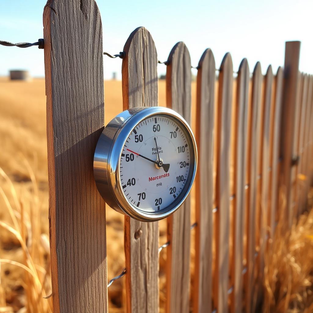
The most dangerous moments during a heat dome are not the afternoon highs. They are the nights. A human body relies on cooler overnight temperatures to dump accumulated heat and recover. When nighttime lows do not drop below about 68 degrees Fahrenheit (a so called tropical night), the body cannot fully recover.
Heat domes often trap humidity along with hot air, which makes evaporative cooling (sweating) much less effective. Core body temperature stays elevated. Cardiovascular load stays elevated. After two or three nights in those conditions, the risk of heat exhaustion and heat stroke climbs sharply, especially for older adults, infants, outdoor workers, and people with chronic conditions.
Why wet bulb temperature matters more than the headline number
The dry bulb temperature (the standard number on your weather app) only tells you how hot the air is. The wet bulb temperature accounts for humidity and tells you what your body can actually cool itself down to through sweating. A wet bulb temperature of 95 degrees Fahrenheit is the theoretical limit at which a healthy human can survive for more than a few hours without active cooling.
Most U.S. heat waves do not approach that limit, but regional events in the Persian Gulf and parts of South Asia have come close in recent years. Heat domes are the synoptic pattern most likely to produce dangerous wet bulb conditions even in temperate latitudes.
What climate change has to do with it
Heat domes are a natural feature of atmospheric circulation. They have always existed. What is changing is their frequency, their geographic distribution, and their intensity. A warmer baseline climate means the air mass trapped under a dome starts hotter, so the peak temperatures land higher. A warmer ocean means temperature gradients that drive jet stream behavior are shifting, which lets ridges park in places (and at intensities) that were rare a few decades ago.
Attribution science has gotten precise enough that researchers now publish formal estimates within weeks of major events. The 2021 Pacific Northwest dome, for example, was found to have been virtually impossible in a pre industrial climate and merely rare in the current one.
What to actually do during a heat dome
- Hydrate aggressively. Water plus electrolytes. Avoid alcohol and limit caffeine. Both accelerate dehydration.
- Pre cool your space. Run AC overnight when the outside air is closer to indoor target temperature. By midday the AC is fighting a losing battle.
- Close blinds during peak sun. Direct sunlight through windows can add 10 to 20 degrees inside even with the AC running. Block it.
- Find a cooling center. Most U.S. cities open public cooling centers during declared heat emergencies. Libraries, recreation centers, and shopping malls all count.
- Move physical activity to before sunrise or after sunset. Even then, monitor heart rate and stop early if you feel anything unusual.
- Check on neighbors. Older adults living alone are the highest mortality group during every major heat dome event.
Warning signs of heat illness
Heat exhaustion shows up as heavy sweating, weakness, nausea, dizziness, and muscle cramps. Move to a cool place, drink water, and rest. Heat stroke is more dangerous and shows up as confusion, slurred speech, hot dry skin (because the body has stopped sweating), and core body temperature above 103 degrees Fahrenheit. That is a 911 call. Move the person to shade, cool them with wet cloths or a cool bath, and get medical help immediately.
For more on the climate context driving more frequent extreme weather, see how federal policy is interacting with climate adaptation.
The takeaway
A heat dome is not just a hot week. It is a specific atmospheric setup that traps hot air, compresses it, blocks the relief of cool nights, and sits in place long enough to do real damage. The physics is well understood, the response is well rehearsed by emergency managers, and the personal habits that protect you are simple. The danger is mostly to people who underestimate it because the heat looks like familiar summer heat right up until it is not.
Frequently asked questions
How long does a heat dome typically last?
Anywhere from a few days to about three weeks, depending on how locked in the jet stream pattern is.
Why is humidity so dangerous during a heat dome?
Humidity makes sweat evaporation less effective, so the body cannot shed heat. High dew points combined with high temperatures push wet bulb conditions into dangerous territory.
Are heat domes the same as heat waves?
A heat dome is a specific cause. A heat wave is the surface effect. Most major heat waves are driven by a heat dome but not all are.
What temperature should I worry about overnight?
Nights that fail to drop below about 75 degrees Fahrenheit (especially with high humidity) carry the largest health risk because the body cannot recover.