

Quick Answer
When Arctic ice shelves and multi year sea ice disappear, waters that were effectively closed for most of human history become navigable. That opens new shipping routes through the Canadian Arctic, raises the value of seabed resources, and makes it harder for any one country to monitor and enforce sovereignty across the High North.
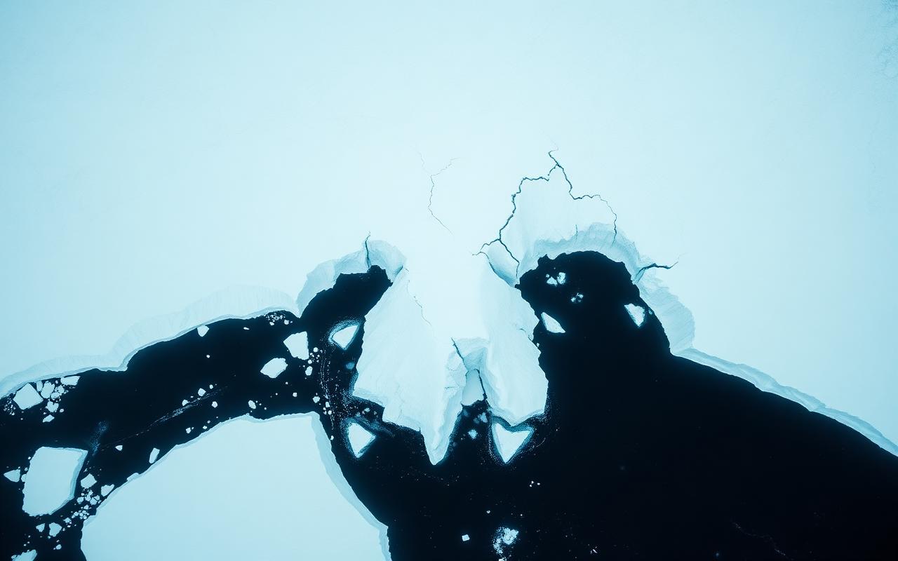
The 2020 collapse of the Milne ice shelf on Ellesmere Island, the last fully intact ice shelf in Canada, was the clearest signal yet. An ice feature that had been stable for at least 4,000 years split in a single summer.
For Canada, the security response is not military first. It is sensors, ports, satellites, and people. Without that backbone, sovereignty in the Arctic becomes a claim on a map rather than a presence on the ice.
Why the Milne Collapse Matters
The Milne ice shelf sat off the northern coast of Ellesmere Island in Nunavut, one of a handful of ice shelves that survived the twentieth century intact. In late July 2020 it lost about 40 percent of its area in two days. Scientists from Carleton University and the Canadian Ice Service confirmed that the remaining shelf was no longer structurally coherent.
That collapse mattered for three reasons beyond the environmental headline.
- Ice shelves are natural choke points. They block channels, harbour epishelf lakes, and reflect solar energy. Losing them changes local hydrology and exposes coastline that has been shielded for millennia.
- Free floating ice islands from a collapse drift south for years, becoming hazards to shipping and offshore infrastructure long after the headlines fade.
- The collapse confirmed that even the most stable ice features in the Canadian Arctic are now within a single warm summer of failure.
How Disappearing Ice Reshapes the Map
The Arctic is not becoming an open ocean. It is becoming a seasonally navigable basin with longer ice free windows and fewer fully impassable choke points. That distinction matters for security planning.
- Northwest Passage. The route through the Canadian Arctic Archipelago is open for longer windows each summer. Cruise ships, research vessels, and the occasional commercial transit are already using it. Canada maintains the position that the Passage is internal waters. The United States and several European states treat it as an international strait.
- Northern Sea Route. The Russian Arctic route along Siberia is now a working commercial corridor for parts of the year, with bulk carriers and LNG tankers using it to shorten Asia to Europe transits.
- Transpolar route. A direct path across the central Arctic Ocean, once unthinkable, is being discussed as a realistic option for ice strengthened vessels by mid century.
More navigable water means more vessels, more search and rescue exposure, more pollution risk, and more chances for unidentified ships to move through Canadian claimed waters without anyone knowing in real time.
The Real Security Gap Is Domain Awareness
The hardest problem in Arctic security is not invasion. It is knowing what is happening across an area larger than the European Union, with almost no permanent population and brutal operating conditions for ten months of the year.
Closing that gap requires four overlapping layers.
- Satellites. RADARSAT Constellation Mission satellites already provide synthetic aperture radar coverage of the Arctic. The next generation needs to deliver faster revisit times and tighter integration with allied sensors.
- Over the horizon radar. Canada's new Arctic over the horizon radar, funded under NORAD modernization, is designed to detect aircraft and cruise missiles approaching from the north long before they reach existing North Warning System coverage.
- Maritime sensors. Undersea hydrophones, ice tethered buoys, and uncrewed surface vessels are needed to track submarine activity and surface traffic in newly open channels.
- People on the ground. The Canadian Rangers, Indigenous patrols drawn from northern communities, remain the most cost effective presence layer Canada has. Expanding their numbers and equipment is consistently rated by defense reviews as one of the highest value investments available.
Why Deep Water Ports Are the Pinch Point
You cannot patrol the Arctic from southern bases alone. Fuel range, crew endurance, and ice conditions limit what southern based ships and aircraft can do above the tree line.
The Nanisivik Naval Facility on northern Baffin Island, originally announced in 2007, has come into limited service as a refueling station for the Royal Canadian Navy and Coast Guard. It is a start, not a finish. Year round operations, deeper berths, and forward basing for the new Arctic and Offshore Patrol Ships all depend on continued investment in northern port infrastructure.
The Iqaluit deep water port, opened in 2022, made a real difference for commercial resupply in the eastern Arctic. Similar facilities are needed in the central and western Arctic to give Canadian assets a working footprint across the whole archipelago.
The International Layer
Arctic security is not a Canada only problem. Eight states sit on the Arctic Council. Five of them, including Canada, the United States, Norway, Denmark via Greenland, and Russia, are Arctic Ocean coastal states with overlapping continental shelf claims.
For Canada, the practical security tools are NORAD for aerospace warning, NATO for European Arctic coordination, and bilateral cooperation with the United States on icebreakers, sensors, and submarine activity. The 2024 ICE Pact between Canada, the United States, and Finland on icebreaker construction is the clearest recent example of how shared industrial capacity is becoming a sovereignty tool in its own right.
What Canadians Should Watch
Three indicators tell you whether Arctic security policy is moving from rhetoric to reality.
- Delivery dates for the Arctic over the horizon radar. The first operational segment is the practical test of NORAD modernization.
- The pace of Arctic and Offshore Patrol Ship deliveries and their actual time spent above the Arctic Circle each year.
- Investment in Canadian Rangers, including modern firearms, communications, and stipends that reflect the operational tempo expected of them.
Frequently Asked Questions
Is the Northwest Passage already a major shipping route?
No. Transits remain a small fraction of Northern Sea Route traffic. The window is widening, but ice conditions, insurance costs, and lack of infrastructure still limit commercial use.
Has Canada lost sovereignty over Arctic waters?
No. Canada's legal position on the Northwest Passage as internal waters is unchanged. The challenge is enforcement, not status.
Are Canadian Rangers a real military force?
Yes. The Rangers are a subcomponent of the Canadian Armed Forces Reserves, drawn primarily from Indigenous and northern communities, and they conduct sovereignty patrols across the Arctic year round.
The Bottom Line
Disappearing ice does not by itself put Canadian sovereignty at risk. What it does is raise the cost of being present, the value of being watched, and the speed at which a manageable monitoring problem becomes an unmanageable one. The countries that invest now in sensors, ports, satellites, and people will set the rules for the Arctic of the next fifty years. Canada has the geography. The open question is whether the infrastructure keeps up with the melt.