

Quick Answer
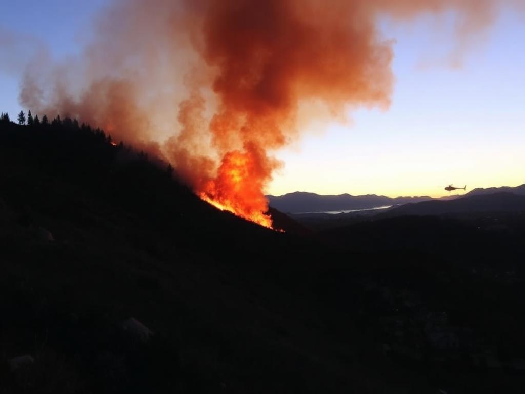
The Sandy Fire is a fast moving brush fire that ignited on the morning of Monday, May 18, 2026, in the hills of Simi Valley in Ventura County, about 30 miles northwest of downtown Los Angeles. Driven by winds gusting above 30 mph, it grew to more than 1,364 acres within hours and forced mandatory evacuations for roughly 20,000 residents across southern Simi Valley and the northern edge of Thousand Oaks.
The nearby Ronald Reagan Presidential Library and Museum closed as a precaution. For real time updates, the most reliable fire maps are CalFire, the Ventura County emergency dashboard, and the LAFD alerts page.
The Sudden Outbreak of the Sandy Fire
Southern California's wildfire season hit hard and early in May 2026. What started as a minor brush ignition rapidly escalated into a major emergency, dominating headlines across the state. As plumes of grey smoke spread over the suburban skyline, tens of thousands of residents were forced to flee.
I am writing this so you have a single, clear summary: where the Sandy Fire is, who needs to evacuate, how to use a real time fire map, and what to put in a go bag if you live anywhere in the threatened area.
Where Is the Fire Burning?
Los Angeles County is dealing with several small brush incidents and a recent structure fire downtown, but the Sandy Fire is the focal point of the regional emergency response. It ignited just after 10:00 a.m. in the hills of Simi Valley, a city in Ventura County roughly 30 miles northwest of downtown LA.
Driven by sudden, aggressive wind gusts above 30 mph, the blaze exploded in size, consuming bone dry chaparral. By afternoon it had expanded past 1,364 acres. The intense heat and erratic wind pushed flames down the slopes toward dense suburban neighborhoods in Thousand Oaks. The Ronald Reagan Presidential Library and Museum closed indefinitely as a precaution.
Evacuations and Emergency Response
When wildfires move this fast, the only priority is human life. Authorities did not hesitate to issue mandatory evacuations. Roughly 20,000 residents in southern Simi Valley and northern Thousand Oaks were ordered to leave immediately.
Aerial footage from local news helicopters confirmed at least one residential home fully engulfed by the flames, which underscores how quickly the fire line is advancing. The firefighting effort itself is a multi agency operation. The Los Angeles Fire Department dispatched strike teams to assist the Ventura County Fire Department, and dozens of helicopters and fixed wing aircraft have been performing repeated water and fire retardant drops in a race to establish containment before sundown.
How to Use a Fire Map to Stay Safe
If you live anywhere near the Los Angeles or Ventura county lines, a real time fire map is essential during wildfire season. Reliable maps (CalFire and your county emergency portal) give you three life saving pieces of data:
- Active perimeters. Maps show the exact footprint of the fire and which direction the flames are moving.
- Evacuation zones. Color coded shading marks "Warning" zones (prepare to leave) and "Mandatory" zones (leave now).
- Road closures. Knowing which highways are blocked by smoke or emergency vehicles is critical for planning a safe escape.
I keep CalFire and my county's emergency alert page bookmarked on my phone home screen during fire season. It only takes one alert to make that worth doing.
Essential Wildfire Evacuation Checklist
If you are near the fires Los Angeles is currently battling, you must be ready to leave at a moment's notice. Keep a go bag packed with these essentials:
- Documents. Passports, birth certificates, insurance policies, and property deeds.
- Medical. A 7 day supply of all prescription medications, spare glasses, and a basic first aid kit.
- Pets. Carriers, leashes, a week of pet food, and veterinary records.
- Electronics. Phone chargers, power banks, a battery powered emergency radio, and a flashlight.
- Clothing. Sturdy boots, long denim pants, heavy cotton long sleeve shirts (ember protection), and N95 masks for smoke inhalation.
The Road Ahead for Air Quality
Winds historically calm during evening hours, which gives firefighters their best window to establish a foothold and start raising containment percentages. Even so, air quality across the Los Angeles basin will stay heavily degraded for days. Residents miles from the flames should keep windows closed, run indoor air purifiers if they have them, and avoid outdoor exercise until the AQI improves.
Frequently Asked Questions
Where is the May 2026 LA fire located?
The largest active blaze, the Sandy Fire, is burning in Simi Valley in Ventura County, about 30 miles northwest of Los Angeles.
How big is the Sandy Fire?
As of the latest reports, the Sandy Fire has consumed more than 1,364 acres and is threatening suburban neighborhoods in Thousand Oaks.
Are there mandatory evacuations right now?
Yes. Roughly 20,000 residents in southern Simi Valley and Thousand Oaks were placed under mandatory evacuation orders.
Where can I find an accurate fire map for Los Angeles?
The CalFire website, the Ventura County emergency incident dashboard, and the LAFD official alerts page are the most reliable sources.
Important Disclaimer
This article is a general news summary written on May 20, 2026. It is not a substitute for official emergency guidance. Always follow instructions from local authorities and verify evacuation orders directly with CalFire, your county emergency office, or the LAFD before making safety decisions. See our disclaimer page for more.
The Takeaway
The Sandy Fire is a sharp reminder of how quickly a brush ignition can turn into a regional emergency in Southern California. If you live anywhere in or near the threatened zone, bookmark a fire map, pack a go bag tonight, and treat any evacuation warning as a serious instruction, not a suggestion.