

Quick Answer
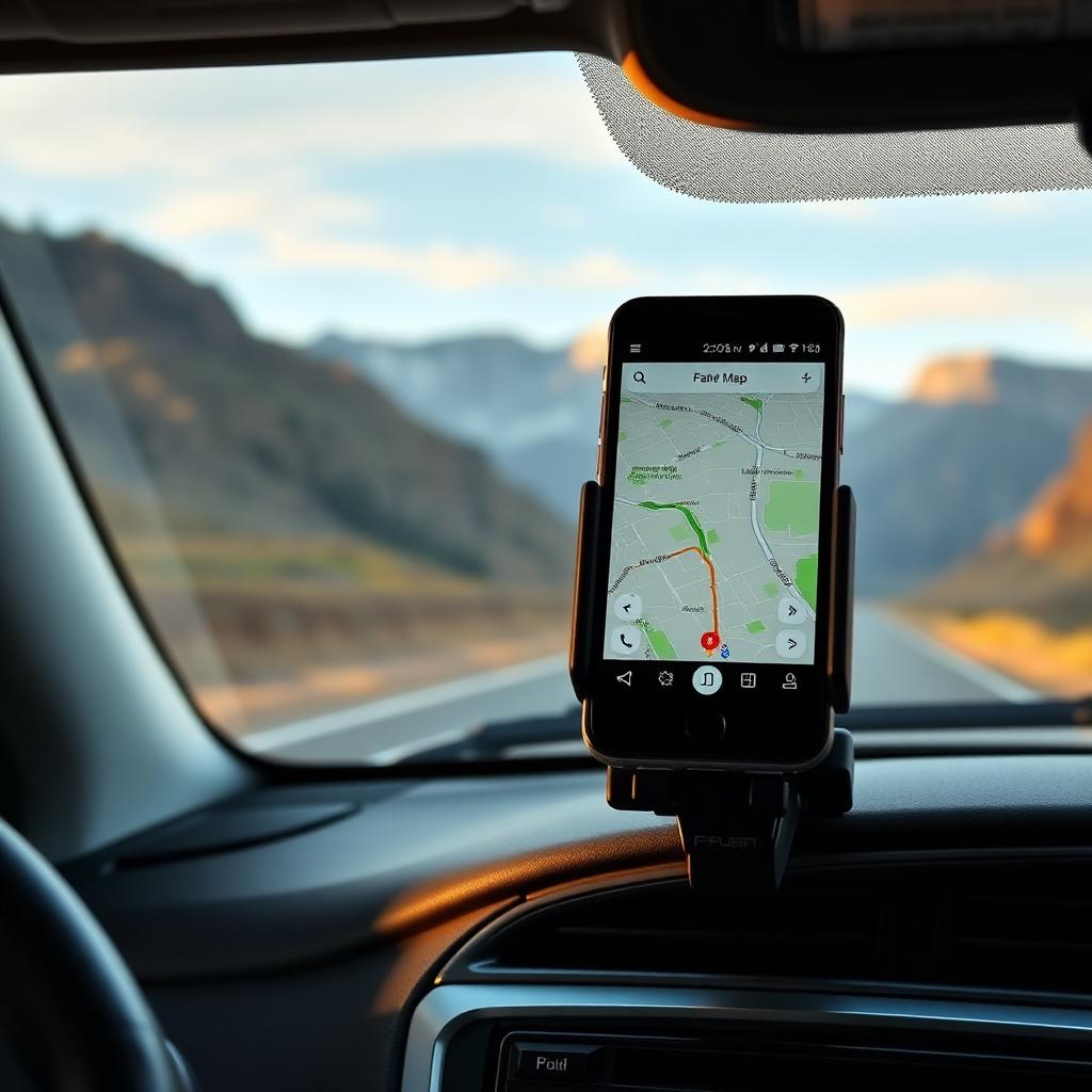
Open Google Maps on Wi Fi before you go off grid, tap your profile picture, choose Offline maps, tap Select your own map, drag the box over the area you want, and tap Download. The map saves to your phone. Once saved, Google Maps will navigate with turn by turn driving directions even in Airplane mode, because the phone's GPS works without a cellular signal.
Walking and transit directions still require a live data connection. Offline maps cover driving and basic search only.
Why this works at all
People assume GPS needs cell service because their phone shows their location on a map streamed from the internet. The GPS chip itself is a passive radio receiver that listens to a constellation of orbiting satellites; it does not need a SIM, a network, or a Wi Fi connection to compute your latitude and longitude. The reason your phone goes blank in a canyon is not GPS failure. It is that the map tiles around your position are streamed on demand, and without a network they cannot load. Downloading the tiles in advance solves that.
Downloading a region in five steps
- Connect to Wi Fi at home or in a hotel.
- Open Google Maps and tap your profile picture in the top right.
- Choose Offline maps from the menu.
- Tap Select your own map. A rectangle appears over the map view.
- Pinch to zoom out, drag to recenter the rectangle over the region you want, and tap Download.
The size estimate at the bottom of the screen updates as you adjust the rectangle. A mid sized city plus its surrounding metro is usually 100 to 300 MB. A full US state is 1 to 4 GB depending on density. Plan storage accordingly.

What works offline
- Turn by turn driving directions, with voice guidance.
- Re routing when you miss a turn.
- Place search for businesses inside the downloaded area, with addresses and basic info.
- ETA calculation based on speed limits and posted distances.
What does not work offline
- Live traffic, road closures, and incident warnings.
- Walking, cycling, or transit directions; only driving is fully offline.
- Lane guidance on some complex interchanges.
- Street View, satellite layer, and 3D buildings.
- Real time business hours, reviews, and phone calls placed from the app.
If you reach a complex urban junction and offline lane guidance is missing, the app keeps the basic turn arrow on screen. Slow down and use the visible street signs to confirm.
Keeping maps fresh
Offline maps expire after roughly one year unless you refresh them, because road networks change. Google Maps prompts to update an offline region a week before expiry. To set automatic updates, in Offline maps tap the gear icon and switch Auto update offline maps to on. Pair it with Download over Wi Fi only if you do not want the refresh to chew through mobile data.
Using Airplane mode as a battery saver
On a long backcountry drive, your phone burns its battery searching for cell towers it cannot reach. Switching to Airplane mode disables the cellular radio entirely; GPS keeps working because it is a separate radio. Battery life on a navigation session in Airplane mode is typically 40 to 60 percent longer than with cellular on in a low signal area. Toggle Wi Fi back on if you arrive somewhere with a known network, but leave cellular off until you genuinely need it.
International travel
Pre downloading is the simplest answer to overseas roaming costs. Save the area around your hotel, the major sights, and the route between them before you leave. Many travelers download an entire small country, like Iceland or the Netherlands, in one rectangle and never enable mobile data abroad. The same trick applies to long flights with airport Wi Fi; download the destination metro before takeoff.
Sharing your downloaded maps
Offline maps are tied to your Google account on the device that downloaded them. They do not sync across devices. If you and a travel companion both want offline coverage, both phones need to download independently. There is no shared offline library for a household account at the moment.
Hiking and wilderness coverage
Google's offline data is optimized for driving. Trails, contour lines, and many forest service roads are missing. For hiking trips, pair Google Maps with a dedicated wilderness app like Gaia GPS, AllTrails Plus, or Caltopo, all of which support full offline topographic and trail downloads. The combination of Google Maps for driving and a topo app for the trail is the standard kit for road trip plus hike weekends.
The Airplane mode verification
Before you leave home, test that the offline setup actually works the way you expect. Switch the phone to Airplane mode, open Google Maps, search for a destination inside the downloaded area, and start navigation. If it routes you turn by turn with voice prompts, you are set. If it grays out and asks for a connection, the area you downloaded did not include the destination or the start point; resize the rectangle and try again.
The takeaway
GPS is local hardware that works in the middle of nowhere. The only reason your map app fails offline is the missing tiles, and Google Maps lets you grab those tiles in advance for free. Download the area before you leave Wi Fi, switch to Airplane mode to save battery, and you can drive into the deepest cell dead zone in the country with turn by turn navigation and a search bar that still finds the closest gas station inside the saved region.