
Quick Answer
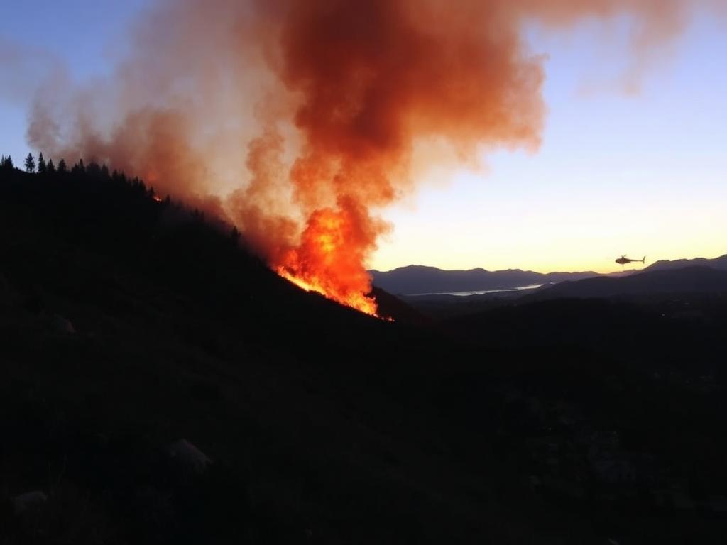
The Sandy Fire ignited near the 600 block of Sandy Drive in Simi Valley, California on the morning of May 18, 2026, and pushed past 180 acres within hours.
Mandatory evacuation orders are active for Ventura County evacuation Zones 32 to 35, roughly bounded by Royal Avenue to the north, Madera Road to the west, Edison Road to the east, and the Albertson Fire Road to the south.
The Ventura County Fire Department, the Simi Valley Fire Department, and Cal Fire are running a joint ground and air attack. Containment is minimal as of the most recent briefing.
Where the Sandy Fire Is Burning
Simi Valley sits in the southeast corner of Ventura County, between the western edge of the San Fernando Valley and the Conejo Valley around Thousand Oaks. It is the kind of wildland urban interface zone that California fire officials watch closely every spring.
The Sandy Fire was first reported just after 10:00 a.m. local time on May 18. Crews on scene described unusually dry brush for May, a result of a stretch of low humidity and gusty afternoon winds funneling through the canyons. Within the first 90 minutes the fire had jumped from a single hillside to a multi finger spread threatening homes on the south side of Royal Avenue.
Smoke is visible from much of the eastern Ventura County corridor and parts of Thousand Oaks, where residents have reported ash falling on cars and patio furniture.
Active Evacuation Zones and Boundaries
Ventura County uses a zone based evacuation system, the same model neighbouring Los Angeles County relies on. For the Sandy Fire, the active mandatory zones are 32, 33, 34, and 35.
- North boundary: Royal Avenue.
- South boundary: Albertson Fire Road.
- West boundary: Madera Road.
- East boundary: Edison Road.
Several schools in the impacted footprint were placed on lockdown or evacuated by mid morning. Parents have been redirected to designated reunification sites announced through district alert systems. If you live inside the four boundaries above and have not yet received a knock and notify visit, do not wait. Leave now, take pets, and avoid Madera Road southbound, which is being prioritised for engines and water tenders.
Who Is Fighting the Fire
The Sandy Fire response is a multi agency effort. Ventura County Fire is the incident command, with mutual aid from Cal Fire, the Simi Valley Fire Department, and engine strike teams from Los Angeles County and Santa Barbara County. Air support includes fixed wing tankers staged out of Camarillo and rotor wing helicopters making bucket drops from Bard Lake.
Crews are focused on three priorities. First, structure defence along the residential cul de sacs on the south side of Royal Avenue. Second, building a containment line along the Albertson Fire Road to keep the fire from sliding south into the Santa Susana Pass. Third, mopping up spot fires that keep igniting downwind of the main column.
How to Stay Safe During the Sandy Fire
If you live in or near Simi Valley, these are the things that matter most in the next 24 hours.
- Pack a go bag now. Identification, medications, phone chargers, two days of clothes, pet food and a leash, a copy of insurance documents.
- Sign up for VC Alert. The county system pushes evacuation orders, road closures, and shelter locations straight to your phone.
- Close windows, vents, and exterior doors. Move flammable patio cushions, propane tanks, and door mats away from the structure.
- Plan two exit routes. Royal Avenue and First Street are the primary egress corridors. Know how you would get out if either is closed.
- Wear an N95 if you have to be outside. Particulate from a wind driven brush fire is rough on lungs even kilometres from the flame front.
What Caused the Sandy Fire
The cause is officially under investigation. Investigators typically rule out the obvious first: downed power lines, equipment use, and roadside ignition. The terrain in this part of Simi Valley is full of dry annual grasses that ignite easily from anything as small as a hot exhaust pipe parked on a verge.
Ventura County has not yet labelled the fire human caused or accidental.
Frequently Asked Questions
Is the Sandy Fire contained?
Containment is minimal as of the latest briefing. Crews are still building line on the southern and eastern flanks.
Where can I see a live evacuation map?
The Ventura County emergency portal hosts a live map with zone boundaries, road closures, and shelter locations. Cal Fire also posts incident updates with acreage and personnel counts.
Are nearby cities like Thousand Oaks under evacuation orders?
Not at this time. Thousand Oaks residents are seeing heavy smoke but there are no active orders for Conejo Valley zones. That can change quickly with a wind shift.
What about pets and livestock?
Ventura County Animal Services has activated large animal shelter sites at the Earl Warren Showgrounds and is taking small animal intakes through partner shelters. Bring a carrier or halter if you can.
The Bottom Line
The Sandy Fire is a fast moving, wind driven brush fire in a part of California that has lived through this exact scenario many times. If you are inside zones 32 to 35, leave now and check in once you are safe. The fire will be re assessed throughout the night as winds drop and air assets work the perimeter. I will update this post as Ventura County publishes new acreage, containment, and zone changes.